Penobscot River Paddling Trail
Downloadable Maps
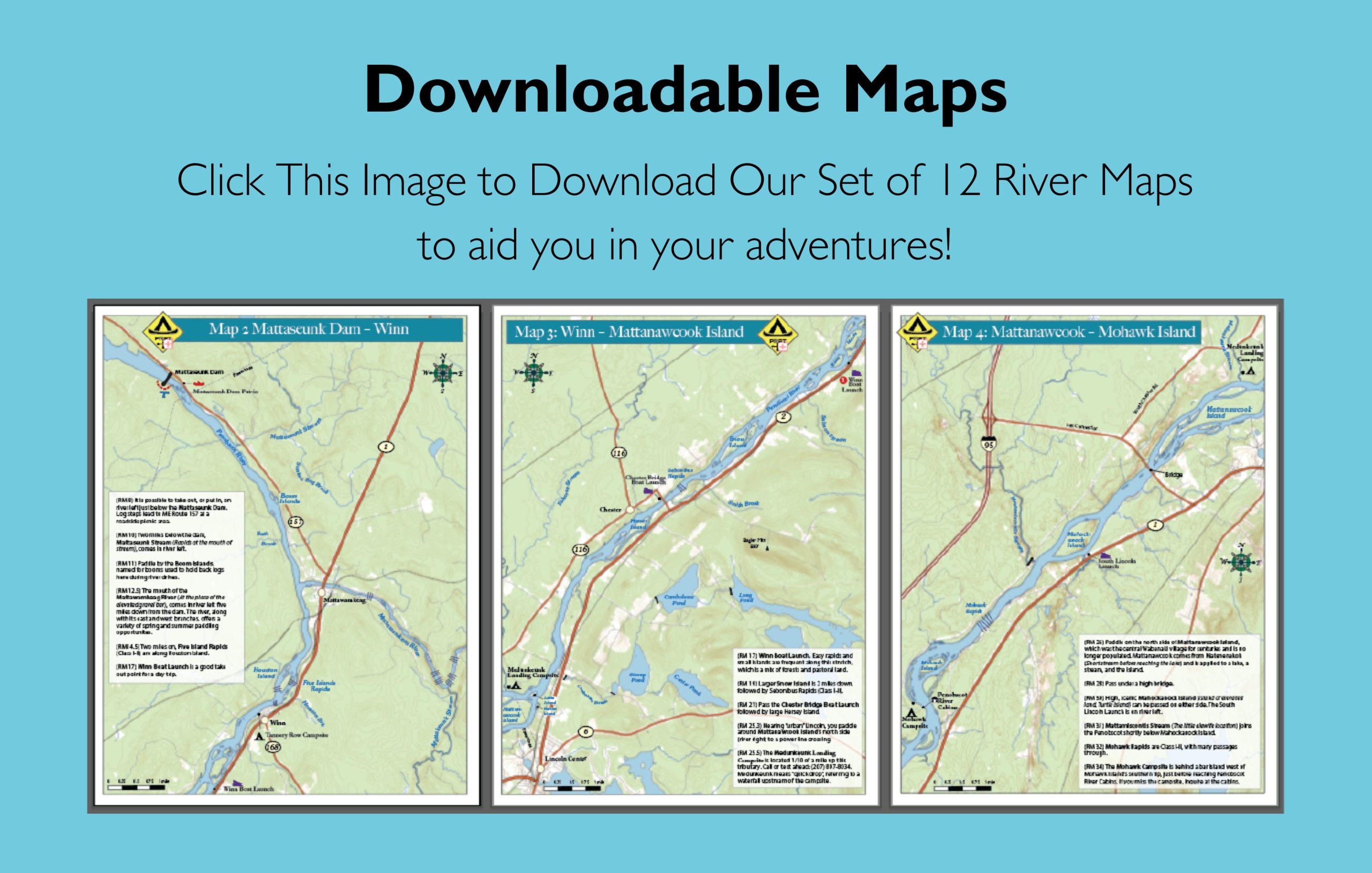
The Penobscot River Paddling Trail offers a variety of maps to help you plan your adventures. Click the image below to download or print the entire set, or scroll down to view, print, or download individual maps.
Click the following links to view, print, or download individual maps for the Penobscot River Paddling Trail.
Map 1: Medway to Mattaseunk Dam
Map 3: Winn to Mattanawcook Island
Map 4: Mattanawcook Island to Mohawk Island
Map 5: Mohawk Island to Long Island
Map 6: Long Island to Sugar Island
Map 7: Sugar Island to Sunkhaze Stream
Map 8: Sunkhaze Stream to Basin Mills Rapids
Map 9: Basin Mills Rapids to Bangor
Map 10: Bangor to South Orrington

